As one of the leading geotechnical engineering companies in North East India, we specialize in Geotechnical Investigation, Pile Load Testing, Electrical Resistivity Testing (ERT), Pile Integrity Testing, and Structural Design, delivering precision, reliability, and innovation in every project we undertake.

Office Maps

Land Surveying

Geotechnical Engineering a solid foundation for every construction project.

Land Surveying

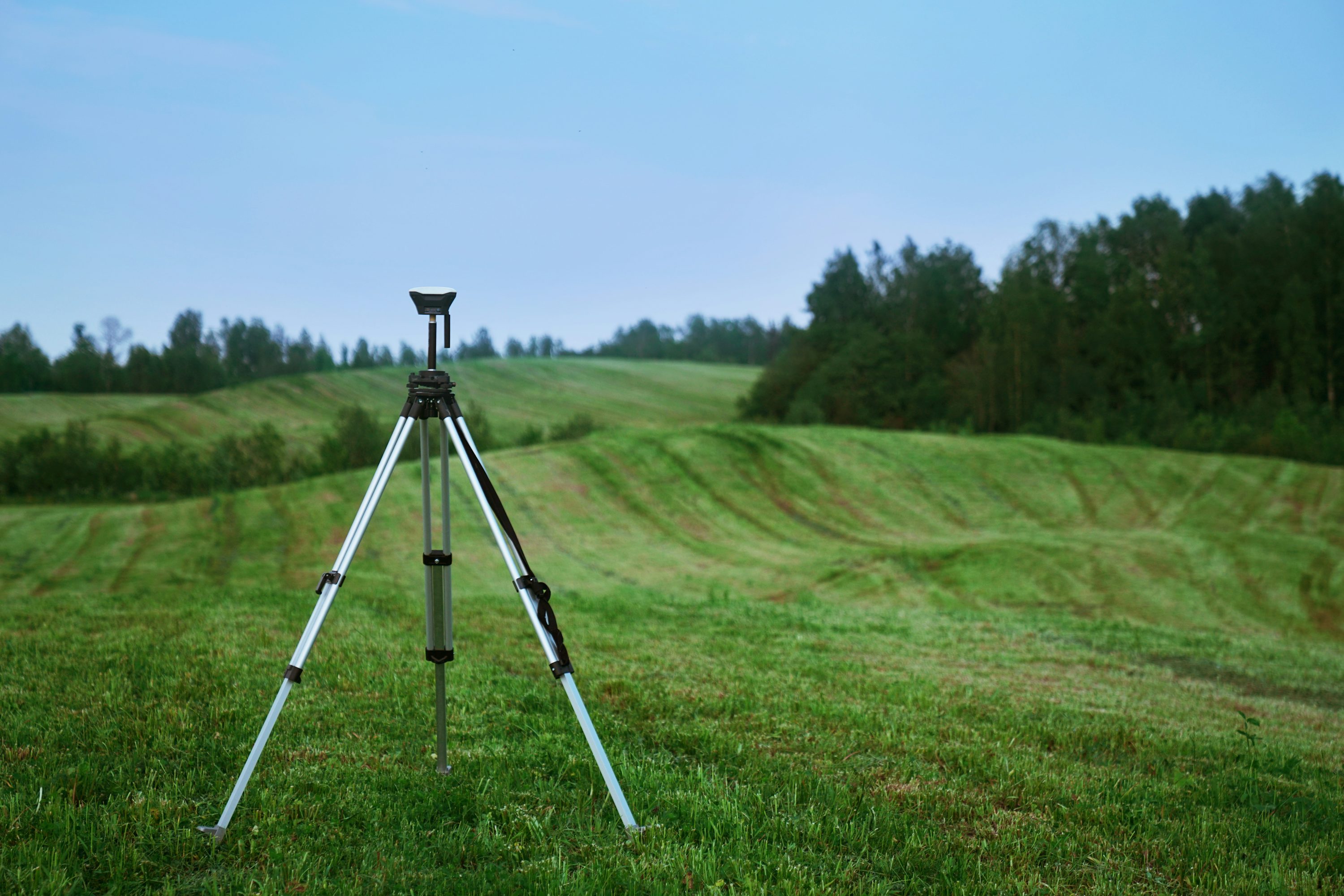
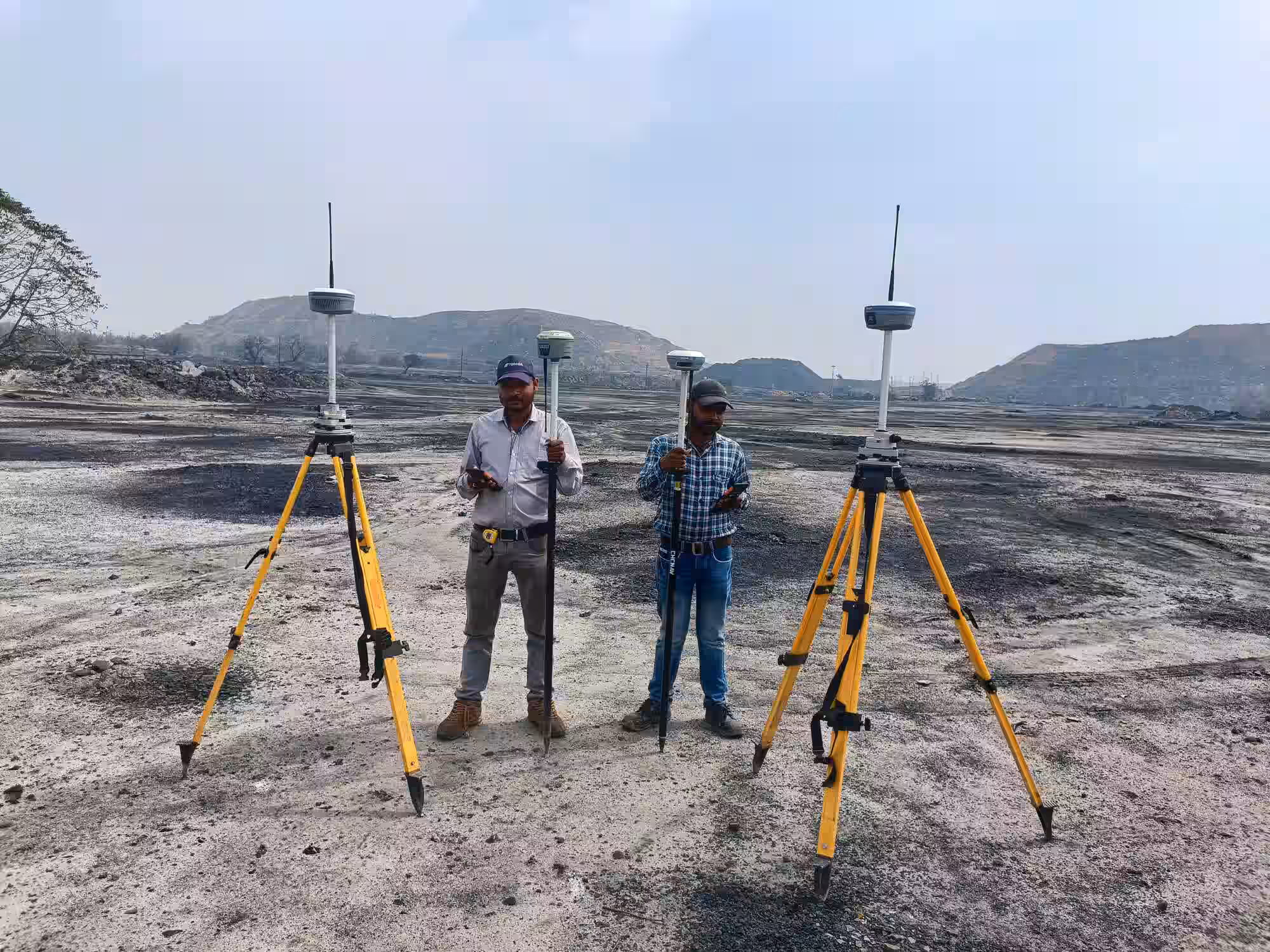
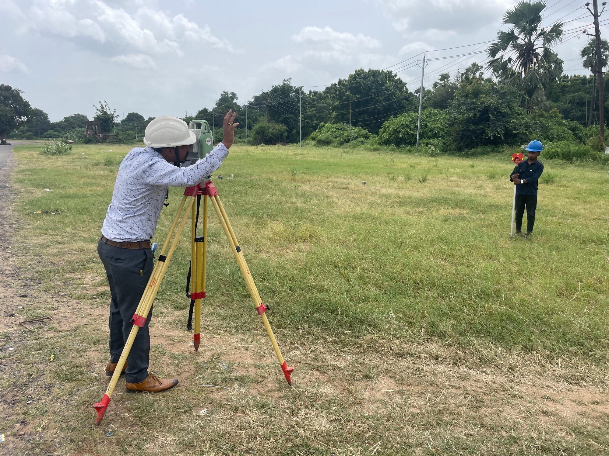
B.S. ENGINEERING GEOTECH PRIVATE LIMITED offers precise and reliable land surveying services. We use the latest technology to accurately map and measure your land, providing critical data for property boundaries, site layouts, and project planning. Our detailed surveys are the first step towards a successful and well-executed construction project.

Our Integrated Process for Your Construction Project

Our process is meticulously designed to support every phase of your construction project, from initial planning to final execution. We start with a detailed consultation to understand your specific needs, followed by a thorough site assessment. This allows us to develop a comprehensive, tailored plan that seamlessly integrates with your overall construction timeline, ensuring a smooth and efficient build.

  • Initial Consultation & Project Assessment: We work with you to define project goals and requirements.
  • Comprehensive Site Analysis: Our team conducts in-depth soil, material, and site investigations.
  • Detailed Planning & Design: We create precise, engineering-driven plans that meet all project specifications.
  • Regulatory & Permitting Support: We assist in securing necessary approvals to keep your project on track.
  • On-Site Execution & Oversight: Our experts provide continuous support, ensuring quality and safety standards are met.
  • Final Reporting & Project Completion: We deliver detailed reports and ensure a successful project handoff.

Benefits for Your Construction Project

At B.S. ENGINEERING GEOTECH PRIVATE LIMITED, we are a leading geotechnical firm whose core mission is to empower the construction industry. Our expertise goes beyond soil analysis; we provide the critical data and support that building professionals need to construct safe, durable, and cost-effective structures. We partner with you to mitigate risks, optimize designs, and ensure the long-term integrity of your investment.

  • Risk Mitigation: Our thorough investigations identify potential issues before they become costly problems.
  • Structural Integrity: We provide the data required to design foundations that are safe and reliable.
  • Cost Optimization: Accurate geotechnical data can prevent over-engineering and lead to significant cost savings.
  • Regulatory Compliance: Our reports and plans help you meet local building codes and standards.
  • Project Efficiency: Our services streamline the planning phase, preventing delays in your construction timeline.
  • Long-Term Durability: We ensure your structures are built on a solid foundation that will last for decades.

Frequently Asked Questions

Land surveying is the art and science of determining the precise positions of points on the earth's surface. It's used for defining property boundaries, planning construction projects, and mapping terrain, ensuring every element is in the right place.

We conduct various surveys, including boundary surveys to confirm property lines, topographic surveys for site grading and design, construction staking to guide the build, and as-built surveys for final documentation.

Yes, a survey is essential to confirm property lines and ensure your project complies with zoning laws and doesn't encroach on neighboring properties. It prevents legal and design issues down the line.

We utilize modern equipment such as Total Stations, GPS/GNSS receivers, and drones to ensure the highest level of accuracy and efficiency, even on complex sites.

Our experienced surveyors are trained to work in various environments, including challenging and remote terrain, using specialized techniques to ensure accurate data collection.

Yes, all our surveys are provided in both physical and digital formats, including CAD files, for easy use by architects and engineers involved in your project.

Our service includes multiple revisions to ensure the final design perfectly aligns with your vision and project goals before construction begins.